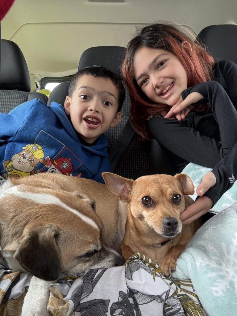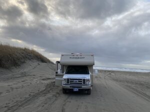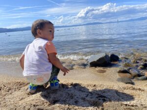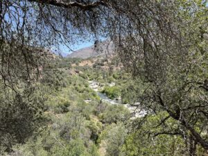
US 395 runs north along the east side of the Sierra Nevada, from Lone Pine under Mount Whitney to Bridgeport near the Nevada line. For a family in an RV, it works well: towns for supplies every so often, and a lot of BLM and Inyo National Forest land on both sides, where you can often camp for free. We drive it in a Class C Winnebago with the kids and the dogs, as one leg of our California Sierra road trip. Our photos here come from May 2021, and we camped in the Alabama Hills in November 2021.
The short version: camp in the Alabama Hills (with the free BLM permit), climb there with the kids, sleep in the Buttermilks near Bishop, climb at Horseshoe Slabs near Mammoth, walk among the tufa at Mono Lake, and see the travertine near Bridgeport. Rules on 395 have changed in the last few years, so read the camping section before you go.
Lone Pine and the Alabama Hills
Lone Pine is the first real stop heading north. Mount Whitney rises straight above town. You see it from the highway and from almost anywhere in the Alabama Hills.
Camping in the Alabama Hills
The Alabama Hills are a jumble of rounded rocks and eroded hills between the Sierra and the Inyo Mountains, just west of Lone Pine. It is BLM land, managed as a National Scenic Area. In November 2021 we camped near Tuttle Creek, at the south end of the hills.
Camping here is not a free-for-all anymore. As of 2026, the BLM says you need the free Alabama Hills permit to camp at the designated campsites, which became required in fall 2024. The permit is good for a year but does not reserve a site. Sites are first come, first served. You can get the permit online, at the Eastern Sierra Visitor Center or from a BLM ranger in the hills. You may camp only where a tent symbol marks the spot. Do not create new sites or move rocks to make a site bigger.
There is no trash service, so pack out all trash. The BLM lists six portable toilets in the hills. Otherwise, you must pack out solid human waste in a portable system, such as your RV toilet or a waste bag. In an RV with its own toilet, that part is simple. If you want a campground instead, the BLM’s Tuttle Creek Campground is right there, along with Lone Pine Campground (Inyo National Forest) and Portuguese Joe (Inyo County).
Climbing in the Alabama Hills
The kids climbed in the Alabama Hills. Our Alabama Hills climbing guide covers where to go, what to bring and how to set up. For the gear side, see our family climbing gear list.
Whitney Portal Road in an RV
Whitney Portal Road climbs from Lone Pine about 13 miles to the trailhead for Mount Whitney. It is a big climb into the mountains. The Forest Service says the road is usually open from May to November, depending on snow. We found no official length limit for the road. The Recreation.gov listing for Whitney Portal Campground says it can take only small trailers and RVs, and that motor homes and trailers are not permitted in its parking lot. Bears are very active at Whitney Portal, and food and scented items go in the bear boxes, never in your vehicle. If you drive a large motorhome, look at the road and the parking before you commit.
Bishop and the Buttermilks
Bishop is the biggest town on this stretch, and a good place to restock. West of town, Buttermilk Road climbs into the Buttermilks, a famous bouldering area of huge granite blocks below the high peaks. We camped there, but we did not climb.
Land ownership here is mixed, and that matters. The Inyo National Forest says the Buttermilks are a dispersed recreation area where camping and campfires are allowed. But the area is mixed with private and utility land, and camping is allowed only on the national forest land. Campfires need a California Campfire Permit and are allowed only when fire conditions allow. There are restrooms at the main parking area, but no water and no trash service. The Forest Service suggests weekdays, because parking fills up.
Much of the open land east of Bishop is BLM land under the Bishop Field Office. Its rules are in the camping section below.
Mammoth Lakes
North of Bishop, 395 climbs to Mammoth Lakes. We slept at national forest spots around Mammoth and June Lake. Mammoth sits in volcanic country, and you can see it in the land: dark rock, cut valleys and water that steams.
Horseshoe Slabs
The kids climbed at Horseshoe Slabs near Mammoth. Slab climbing is good for kids learning to trust their feet. Our Horseshoe Slabs guide has access, routes and tips.
Hot Creek and the hot springs
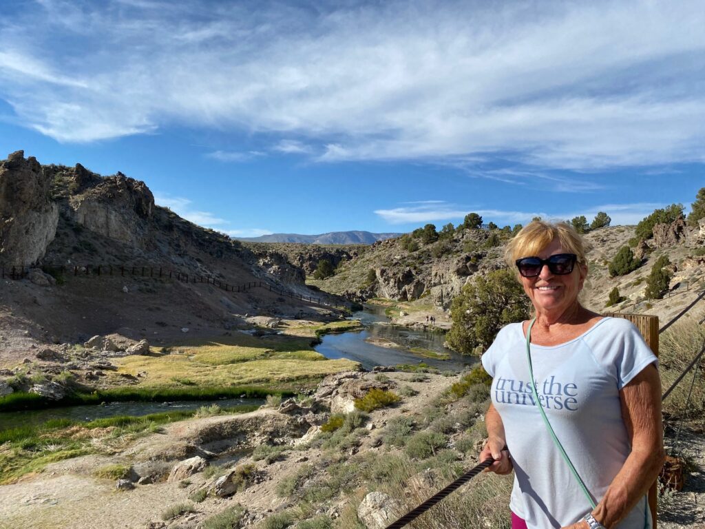
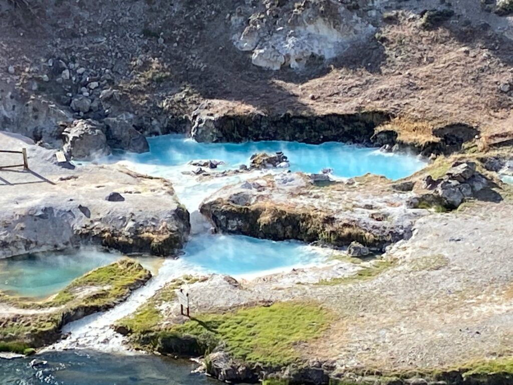
The Mammoth area is known for hot springs, and our photos from here show a steaming creek and turquoise pools among the rocks. If you visit the best-known one, the Hot Creek Geologic Site, know the rules first. The Forest Service page lists no swimming and no fishing, and says entering the water is prohibited because water temperatures can change quickly. A Forest Service closure order in effect through December 31, 2026 bans entering Hot Creek, including the hot springs and steam vents, along about half a mile of the creek. It also bans being within 10 feet of the creek in that stretch. The fine can be up to $5,000.
The site is day use only, from 6 a.m. to 10 p.m., with no fee. You reach it from 395 on Hot Creek Hatchery Road, about 2 miles paved and 3 miles of gravel. No overnight camping is allowed at the site. Dogs must be leashed. With kids, the rules are simple: stay on the trail and behind the fences, and hold small hands near the edge. The U.S. Geological Survey notes that some springs here are hot enough to cause severe burns or death.

June Lake loop
Just north of Mammoth, Highway 158 makes a loop off 395 past June Lake and a string of other lakes, then rejoins the highway. It is a short detour with lake views and national forest land around it. We slept at national forest spots in the June Lake area.
Mono Lake tufa state Natural Reserve
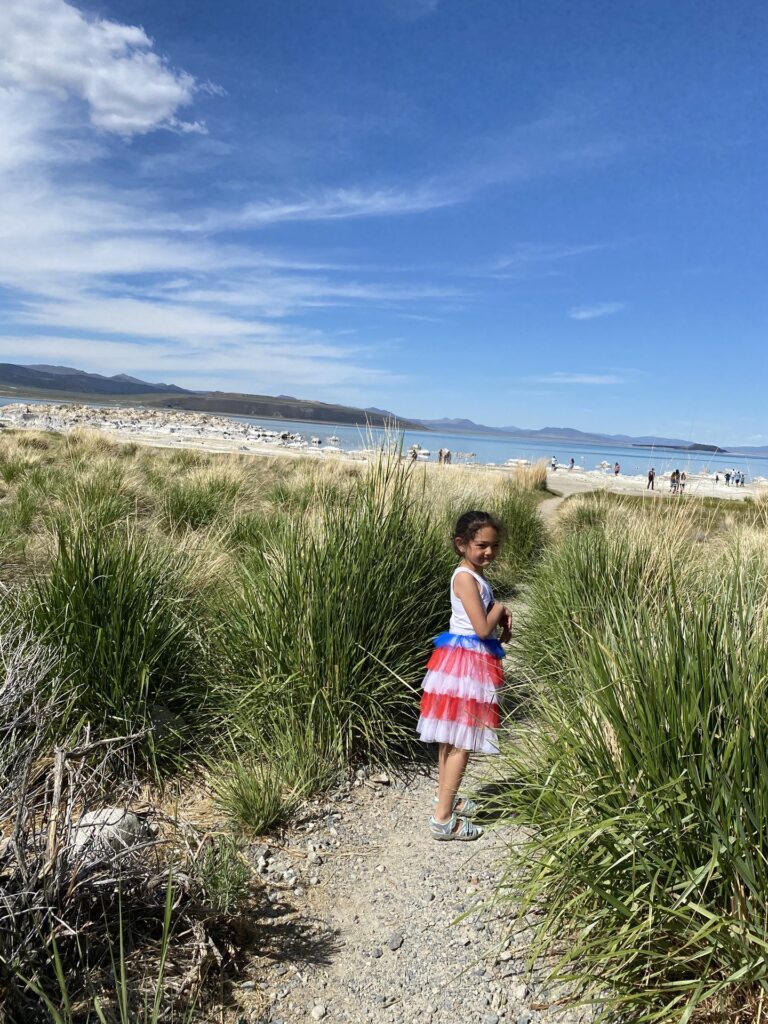
Mono Lake is the strange, salty lake just east of Lee Vining, with tufa towers standing along its shore.

The main place to walk among the tufa is South Tufa, a Forest Service fee area with a self-guided interpretive trail. As of 2026, the Forest Service lists a day use fee of $3 per person for ages 16 and up. Kids 15 and under are free, and the America the Beautiful pass covers the fee. The area is open 24 hours, with vault toilets and picnic tables but no drinking water and no shade. No overnight camping is allowed, so plan to sleep elsewhere. Leashed dogs are allowed. There are free walking tours at 10 a.m. and 6 p.m. from the South Tufa hut.
California State Parks manages the reserve itself. It lists a $3 vehicle day use fee and sunrise to sunset hours. The boardwalk below Mono Lake County Park on the north shore was closed until further notice after the Inn Fire, as of October 2026. Dogs are not allowed on the State Reserve boardwalk or in the County Park. In winter, State Parks notes that the South Tufa road is not plowed. There are no campgrounds in the reserve, but dispersed camping is allowed in most of the surrounding Mono Basin Scenic Area, with a campfire permit.
Bridgeport and Travertine Hot Springs
Bridgeport is the northern end of our 395 leg, not far from the Nevada line. Just outside town, on BLM land, are the travertine terraces of Travertine Hot Springs: white and yellow-green mineral rock with pools and the Sierra behind. Our photos from May 2021 show the kids exploring the travertine and the pools.
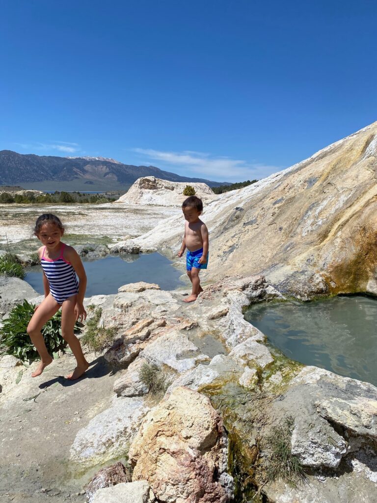

The site is managed by the BLM Bishop Field Office, and it matters to the local Tribe. The BLM has closed it to all public access at times for Tribal ceremonial use. In 2024, for example, it was closed from October 30 to November 6, with the gate locked near Jack Sawyer Road. Check with the Bishop Field Office before you go, and respect any closure. The travertine is fragile, so stay on the paths and do not break or carve the rock.
Dispersed camping rules on US 395
Most of our nights on 395 were on public land. The two big land managers have different rules.
Inyo National Forest
The Inyo National Forest says all national forest land is open to camping unless posted otherwise. Camp at least 100 feet from water. Pack out all trash and leftover food. Use an established fire ring, keep fires small, and drown them fully. The big one for RV families: a California Campfire Permit is required for any open flame in dispersed camping areas, and that includes gas stoves and lanterns as well as wood fires. The permit is free from Inyo ranger stations and visitor centers. Fire restrictions change through the season. The Forest Service listed Stage 1 restrictions as of October 2026, so check before you light anything. Some areas are posted closed to camping, so look for signs.
BLM Bishop Field Office
The BLM Bishop Field Office manages a large share of the open land along 395, including the Alabama Hills. It says dispersed camping is limited to 14 days per year within the field office boundaries. The Alabama Hills have their own permit and designated sites, as above. For fire rules, the BLM points to its California fire restrictions page, which changes with conditions. Pack out what you bring in.
Our Leave No Trace guide for climbing families covers how we handle trash, waste and fire with kids.
When to drive US 395
The high side roads and passes close in winter. We have driven this stretch in late May and in November. In late May the high country is still opening. In November the Alabama Hills and the valley floor are still good for camping, but the passes and high roads close for winter. If you want to cross into Yosemite on Tioga Pass, plan for roughly late May or June to sometime in November. Our trip report has the pass details.
Where to go next
US 395 is one leg of our California Sierra road trip with kids, which runs from Sequoia to the Sonoma coast and back. From Mono Lake, the obvious next stop is Yosemite Valley over Tioga Pass. Heading north instead, Lake Tahoe with kids is our guide to the crags and beaches there.